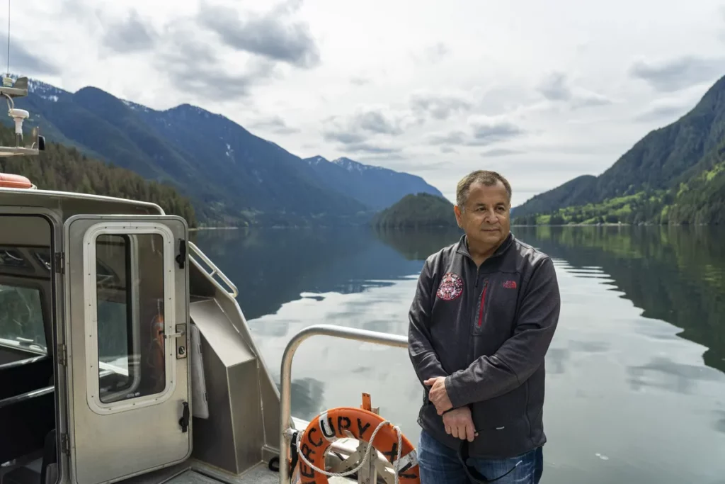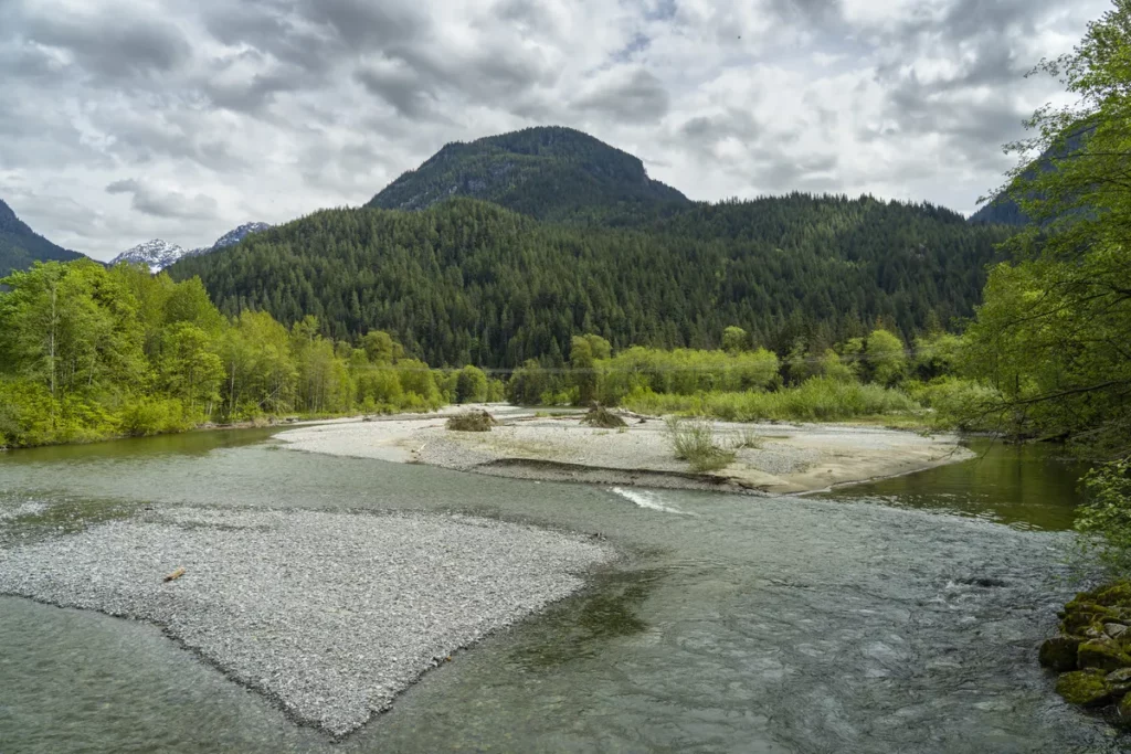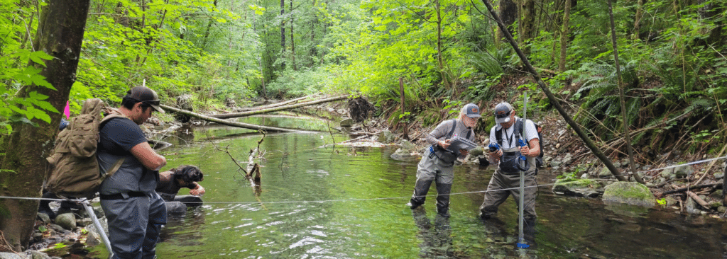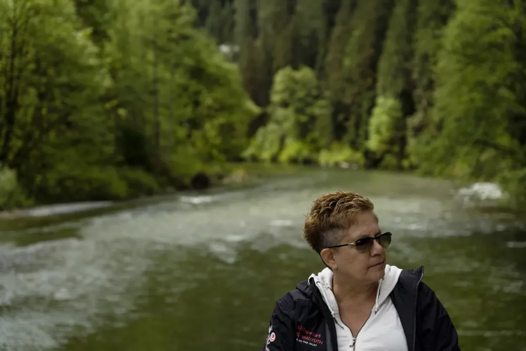
The xʔəl̓ilwətaʔɬ/Indian River Watershed is located approximately 30 kilometres northeast of Vancouver and is the southernmost fjord on the west coast of North America. It is surrounded by the Seymour, Stawamus, Mamquam, Pitt, and Coquitlam Watersheds.
Tsleil-Waututh oral history teaches that the Tsleil-Waututh people have always belonged to, and have accepted responsibility for the care of, the lands and waters within their traditional territory. More recent management by Crown governments has been fragmented, and it has diminished environmental and cultural values.
Seizing the opportunity presented by the Province of British Columbia through the Sea-to-Sky Land and Resource Management Plan process, Tsleil-Waututh proposed a watershed-level planning process for the xʔəl̓ilwətaʔɬ/Indian River Watershed. In December 2005, Tsleil-Waututh and the Province signed a Partnership Agreement for the collaborative development of an Integrated Stewardship Plan. This process was led by Tsleil-Waututh, and it was one of the first collaborations of its kind in the province.
Tsleil-Waututh has been working for decades to reach this agreement. Since 2005 they have reintroduced Roosevelt elk and helped salmon stocks rebound. The changes have had cascading effects: Herring have returned to the inlet, and wolves and cougars returned on the heels of the elk. The work continues today, as the Nation’s environmental crews carefully extract creosote-soaked pylons where log booms were once moored.
Download and read the xʔəl̓ilwətaʔɬ/Indian River Watershed Integrated Stewardship Plan here.
Read the Globe and Mail Article: An urban First Nation reclaims stewardship over vast rainforest on Metro Vancouver’s doorstep – The Globe and Mail