New Interactive Map of Burrard Inlet

New Interactive Map of Burrard Inlet

News & UpdatesNew Interactive Map of Burrard Inlet

New Interactive Map of Burrard Inlet

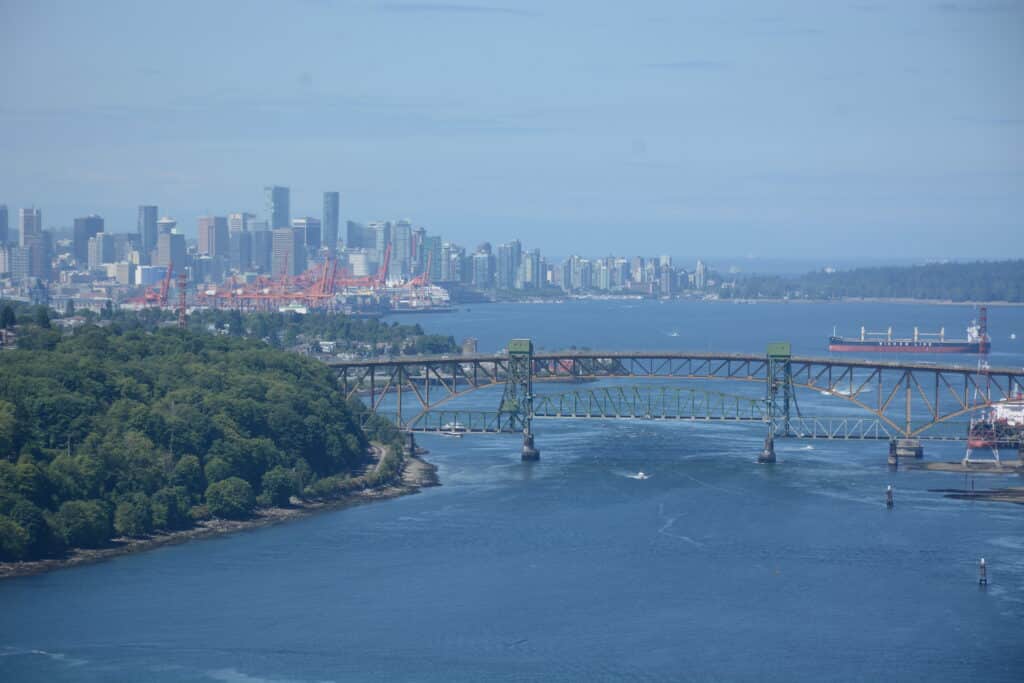
Tsleil-Waututh Nation’s way of life is dependent on a healthy Burrard Inlet. We take care of the Inlet, and it takes care of us.

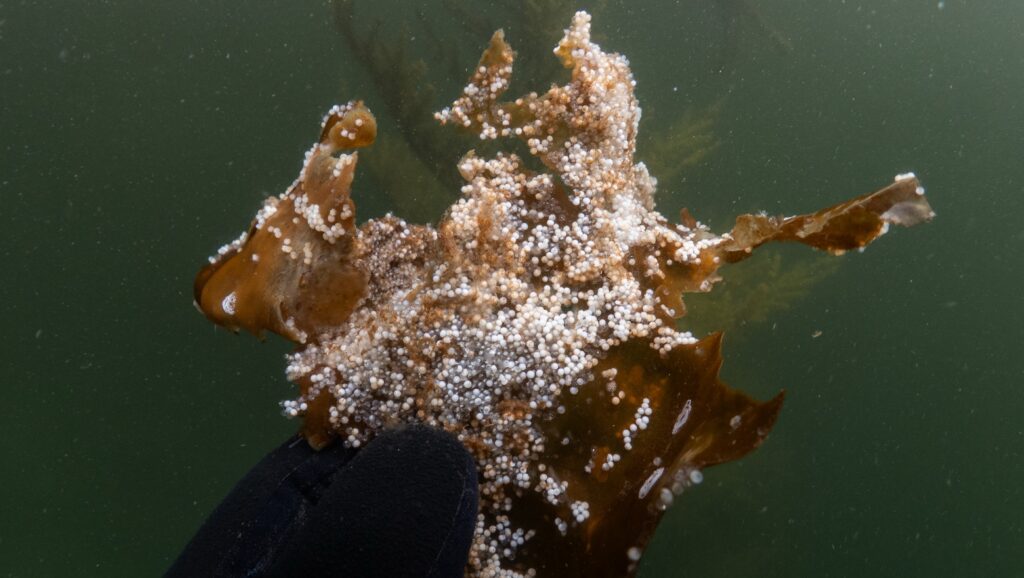
Over 90% of our food was from the marine environment before Europeans arrived, with clams, herring and salmon being some of our most important food sources. Since European contact, however, development and resource use has degraded the health of the inlet to the point that we can’t harvest clams due to contamination, herring have been largely absent for over a century after a dynamite fishery destroyed populations in the late 1800s, and salmon are collapsing across the coast.

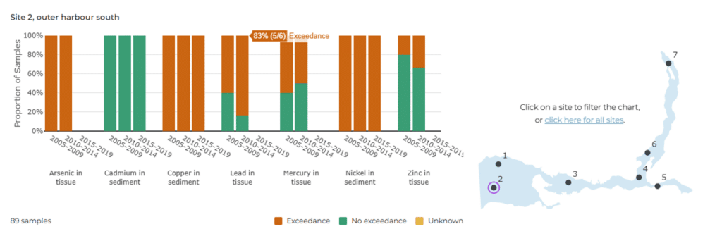
These impacts exceed what is allowable under TWN law and infringe on our inherent and constitutionally-protected Aboriginal rights under Canadian law.

TWN has published new evidence detailing some of these impacts, including how contamination, destructive fishing, and shoreline development have impacted Burrard, leaving minimal opportunities for TWN to harvest many culturally important species.

These large-scale and long-term impacts are difficult to convey from TWN’s perspective, so we’ve produced an interactive map to visualize some of the major impacts of colonial development in Burrard Inlet.

If you are interested in seeing where the shoreline was before Vancouver was a city, how many storm sewers empty into False Creek, or where urban development has paved over old streams, then take a look at this new interactive map:

Click on the image to explore the map, where you can scroll around, zoom in, and click on icons and points to learn more.

Latest Articles

səlilwətaɬ artist team Chris Overes and his daughter Tamia Overes designed the Coast Salish-inspired HSBC SVNS Vancouver medals for this year’s rugby tournament. The gold medals feature a carving-based design centred on an eagle, which represents strength, leadership, vision, and protection. The composition is based on an original hand-carved eagle created by Chris.
Today, March 3rd, is 100 Days to Go before FIFA World Cup 2026™ is hosted in Vancouver and in our shared, traditional territory. Our səlilwətaɬ elected leaders, Elders, language teachers, soccer players & champions, and our siʔáḿθət School students are excited to show what 100 Days to Go means to them!
Check out the new Stewardship Initiatives Map created by səlilwətaɬ (Tsleil-Waututh Nation)’s Treaty, Lands and Resources Department to summarize previous and ongoing work that contributes to restoring the health of səlilwət (Burrard Inlet).
Congratulations to Tsleil-Waututh artist Ocean Hyland for designing the Vancouver Canucks’ new First Nations Celebration logo. Her beautiful work honours our Tsleil-Waututh Nation’s coastal connection, including the orca, the wolf, the eagle, and the raven.
Alongside leaders from Musqueam Indian Band and Squamish Nation, we were recognized on the Power 50 list for advancing the City of Vancouver’s UNDRIP Action Plan, bringing affordable housing to Vancouver residents through the Attainable Housing Initiative, and shaping the hosting of the 2026 FIFA World Cup in Vancouver.
The səlilwətaɬ (Tsleil-Waututh Nation) Natural Resource Planning Team is excited to announce significant progress on the Whey-ah-Wichen shoreline restoration project. This fall saw the completion of the upland portion of the project. Perhaps the most exciting feature is a new picnic shelter, located between the boat launch and Wally’s Burgers, which features səlilwətaɬ red posts and yellow cedar beams.